The Alta Via dei Monti Liguri trail is divided into 8 homogeneous geographical areas; after introducing the first westernmost area, the Nervia Valley, the second area, the Ligurian Alps, the third area, Melogno, here below the fourth area:
Beigua
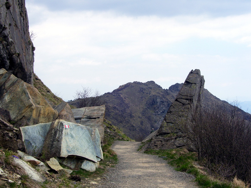
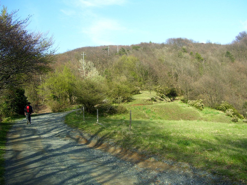
Crossing one of the areas of Italy with the highest density of woodlands, this area is of great environmental and landscape interest. Long tracts of shady road run through dense woodlands spaced by passes studded with imposing XIX century fortifications and other military relics.
In the area of Meugge, the itinerary develops along the Nature Reserve of Adelasia: the area covers the valleys of the tributaries to the torrent Rio Ferranietta and is characterised by the rocky outcrops of Rocca dell'Adelasia and Bric dell'Amore. At Colle del Giovo, the itinerary enters the Parco del Beigua.
The High Way runs through the plateaux of the massif at more than 1000m only a few kilometres away from the coast line. The view is breathtaking, the climate is unpredictable and the vegetation, which has adapted to particular environmental and climatic conditions, besides its magmatic soils, is unique.
In the woody areas it often happens to see families of fallow deer crossing the path, while on the stony plateaux and in the adjacent small valleys it is relatively easy to sight diurnal birds of prey.
For more information: www.altaviadeimontiliguri.it
Thanks to: Associazione Alta Via dei Monti Liguri