Description
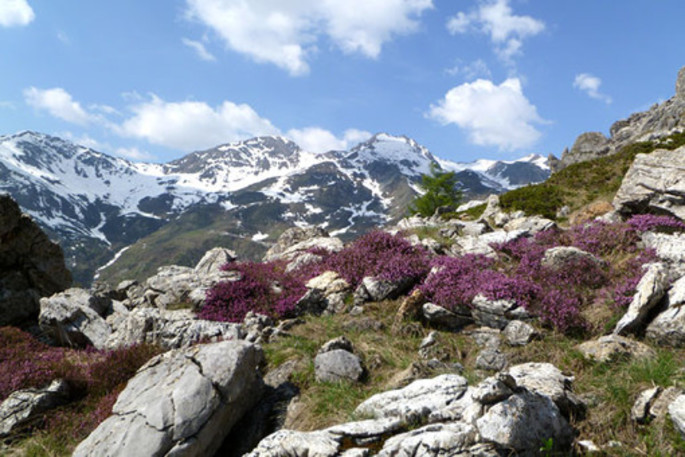
Leaving the Chiappi di Castelmagno hamlet (1661 m) follow the dirt track that, after the Sibolet and Grana streams, reaches the Inciastar Gorge and then a short way towards east enters into the gorge and ends at about an altitude of 1700 m. From here the R16 path begins and goes across the bottom of the valley southwards. At 2202 m you reach a basin that is distinguished by a pool. After a couple of steeper tracks, the pathway turns left along the Grana-Arma watershed between Cima Viribianc (2477 m) and Monte Viridio (2498 m), in the point where the pass of the same name opens up (2390 m). The valley path named “Curnis Auta” runs along the ridge and it is indicated by clearly visible red-white notches.
In summary
Departure point: Borgata Chiappi di Castelmagno
Arrival point: Passo Viridio Gradient: 690 m
Time required: 2 h
Degree of difficulty: medium Links to other routes: from Viridio pass turning east along the water- shed you can reach the panoramic Cima Viribianc (2477 m).
Access:
• from Turin:
see previous route.
• from Cuneo:
see previous route.
Source: ATL Cuneo


